
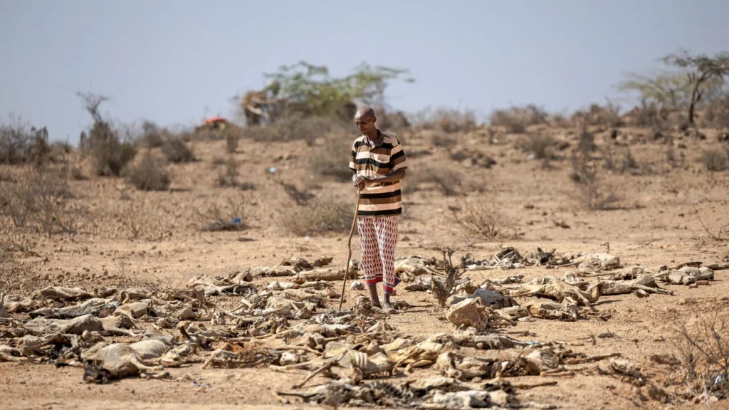
BY SHAHNOOR SAQIB I THE CHANGER
GENEVA, Sept 3 — The United Nations has warned that a rapidly intensifying El Niño could become the strongest ever recorded, raising the risk of severe droughts, floods, extreme heat and disruptive weather across large parts of the world through 2027.
The World Meteorological Organization said on Thursday that El Niño is now firmly established in the tropical Pacific and is expected to strengthen into a “very strong” event before peaking toward the end of 2026. Its latest forecasts show a near-100% probability that El Niño conditions will persist through February 2027 — an unusually high level of certainty for a WMO seasonal outlook.


Exceptionally warm waters across the tropical Pacific are driving the intensification. Temperatures in parts of the Pacific monitored for El Niño are already more than 2 degrees Celsius above normal, putting the current event among only four classified in the “very strong” category in records dating to 1950.
WMO Secretary-General Celeste Saulo said the trajectory could take the event beyond anything observed since modern monitoring began. The UN agency cautioned, however, that the eventual strength of El Niño does not automatically determine how severe its effects will be in every country, because regional impacts vary considerably.
UN Secretary-General António Guterres said El Niño was being “supersized before our eyes,” warning that unusually warm oceans were combining with an already warming planet to increase extreme-weather risks. El Niño itself is a naturally occurring climate phenomenon and is not caused by human-driven climate change, WMO stressed, although unusually warm global oceans can amplify its consequences.
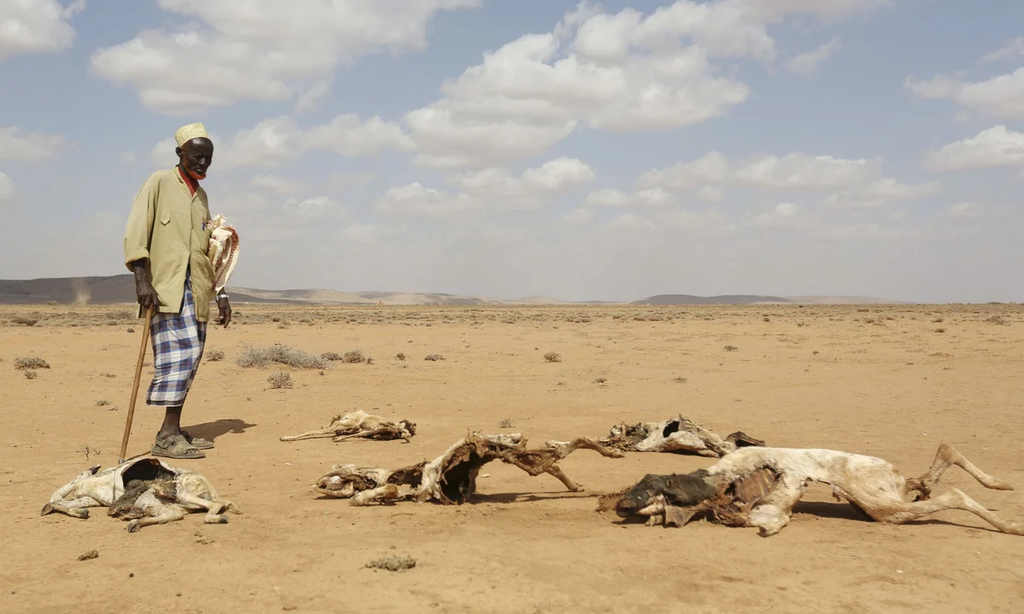
El Niño develops when surface waters in the central and eastern equatorial Pacific become unusually warm, altering atmospheric circulation and shifting rainfall and temperature patterns thousands of kilometres away. Events typically occur every two to seven years and usually last around nine to 12 months.
A very strong event can produce sharply different effects across the globe. Some regions face reduced rainfall, drought, crop losses and wildfire risks, while others can experience intense rainfall, flooding and stronger storms. The current El Niño has already been linked to serious food-security pressures in Central America’s Dry Corridor, while governments elsewhere are preparing agriculture, water systems and emergency services for possible disruptions.
The risks extend beyond individual weather disasters. Changes in rainfall can affect crop production and food prices, drought can disrupt hydropower and shipping, and floods can damage infrastructure and displace communities. Health systems can also face increased pressure as extreme heat and changing rainfall patterns alter disease and humanitarian risks.
The WMO has responded with what it describes as an exceptional international mobilisation, working with national meteorological and hydrological agencies to strengthen forecasts and early-warning systems. Governments and humanitarian organizations are being urged to use seasonal forecasts now rather than wait for disasters to develop.
Preparations can include switching to more drought-resistant crops in vulnerable agricultural regions, strengthening flood and storm warnings, protecting water supplies and positioning humanitarian assistance before expected weather extremes occur. The WMO said climate information is being shared across sectors including agriculture, health, energy, water management and disaster response.
Another major concern is global temperature. El Niño transfers additional heat from the ocean into the atmosphere, and its warming influence can continue after the event itself reaches its peak. WMO climate prediction chief Wilfran Moufouma Okia said 2027 therefore has the potential to become the warmest year on record.
That does not mean every El Niño-linked disaster can be predicted months in advance or attributed solely to the phenomenon. WMO specifically warns that the intensity of an El Niño event does not translate directly into the scale of impacts in a particular region. National meteorological agencies remain the authoritative source for country-level warnings.
What is unusually clear, however, is the strength of the global signal. El Niño is already established, Pacific waters are exceptionally warm, forecasts overwhelmingly expect it to survive into early 2027, and the event has not yet reached its expected peak.
For governments, that makes the coming months less a question of whether El Niño will continue and more a race to prepare for what happens as it strengthens.